Scan to BIM Services
Gain comprehensive asset information from your existing facilities. Reduce rework, improve renovation planning, and create accurate as-built records for facility management.
Why Choose Us?
Here's why leading AEC firms trust Bimeco for scan-to-BIM services
Multi-Format Support
We process point clouds from laser scanners, 360° cameras, drones, and photogrammetry to deliver accurate BIM models in Revit, ArchiCAD, or IFC formats.
Fast Turnaround
Receive detailed as-built BIM models within 2-3 weeks, complete with architectural, structural, and mechanical systems modeled to your required level of detail.
Certified Professionals
Our scan-to-BIM specialists are DDM-certified with extensive experience converting complex point cloud data into construction-ready BIM models.
How It Works
Our scan-to-BIM process
Site Scanning
Our surveyors capture your facility with high-precision laser scans to create a complete digital record of existing conditions.
BIM Modelling
We transform point-cloud data into accurate 3D models, with optional asset information for facility management.
Verification
Your team reviews the BIM model against the physical asset to confirm dimensional accuracy before final delivery.
Documentation
We extract shop drawings and CAD files from the model based on your requirements for renovation or maintenance works.
Scan to BIM workflows.
Digitize your assets to unlock enhanced facility management workflows.
As-Built BIM Documentation
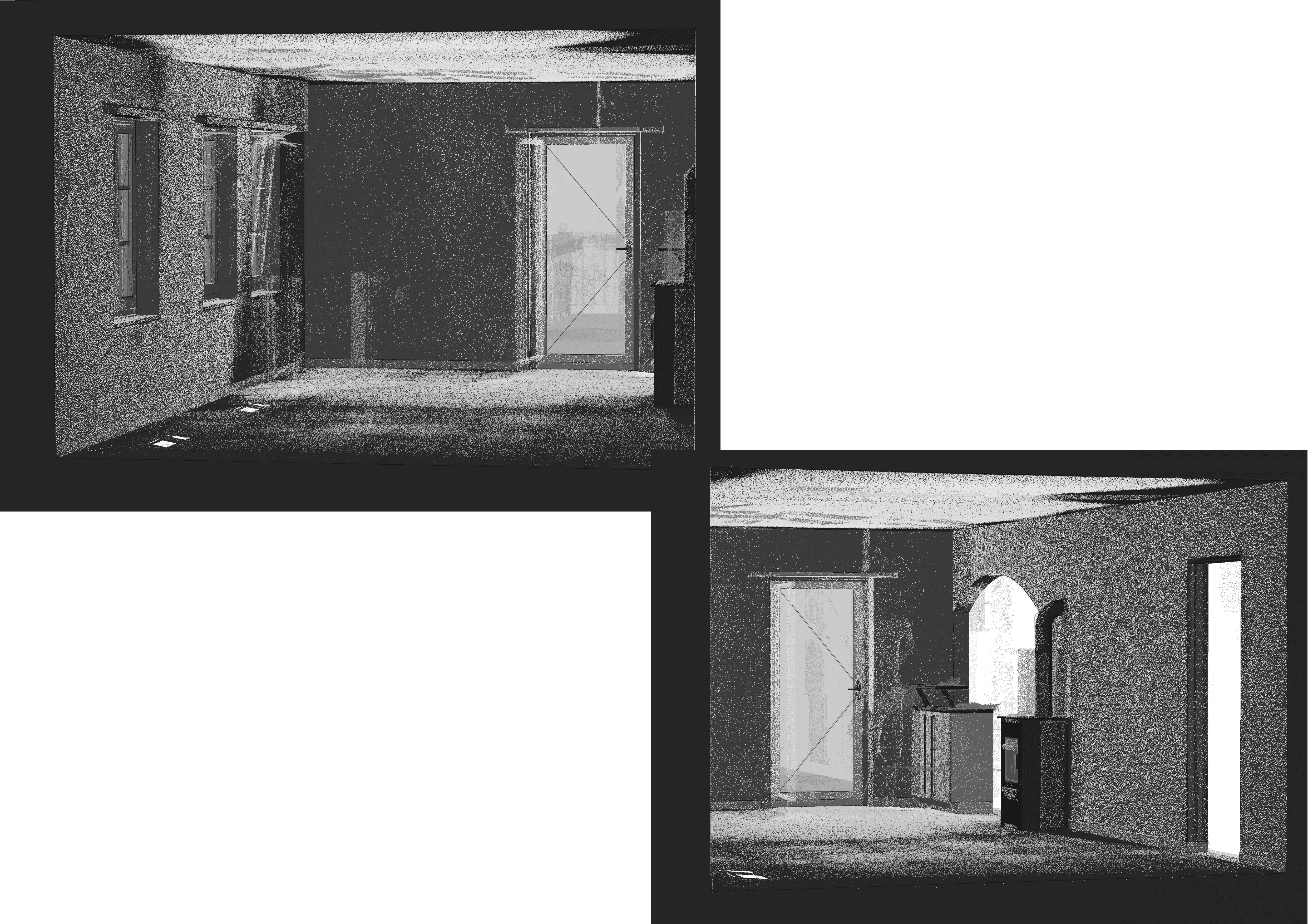
Transform point cloud scans into detailed, construction-ready BIM models. Our team accurately models architectural elements, structural components, MEP systems, and interior finishes to LOD 300-400 specifications. Generate coordinated 2D floor plans, elevations, and sections directly from the 3D model for permit submissions and renovation planning.
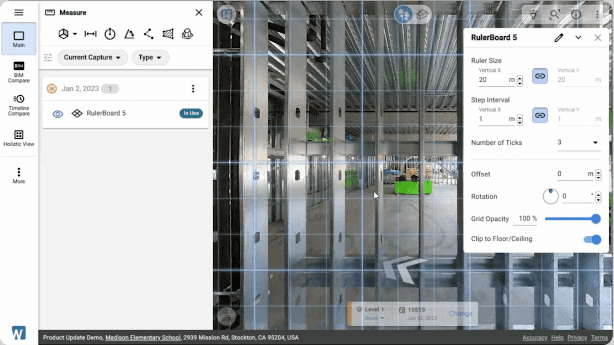
Project Quality Control
Validate construction accuracy by overlaying design BIM models with as-built point cloud data. Identify deviations, detect spatial conflicts, and generate detailed deviation reports with color-coded heat maps showing variations down to ±4mm accuracy. Catch issues before they become costly rework, ensuring projects stay on schedule and within budget.
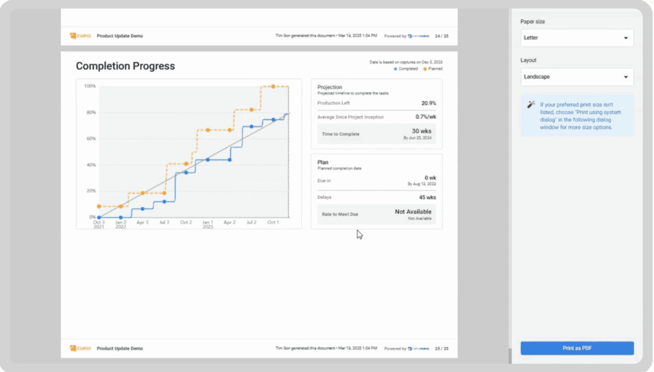
Progress Monitoring & Documentation
Capture periodic laser scans throughout construction to create time-stamped as-built records. Compare design intent against actual progress, validate contractor payment claims, and maintain verifiable documentation for handover. Ideal for complex MEP installations, structural work verification, and facilities management asset tracking.
Our Scan-to-BIM Projects
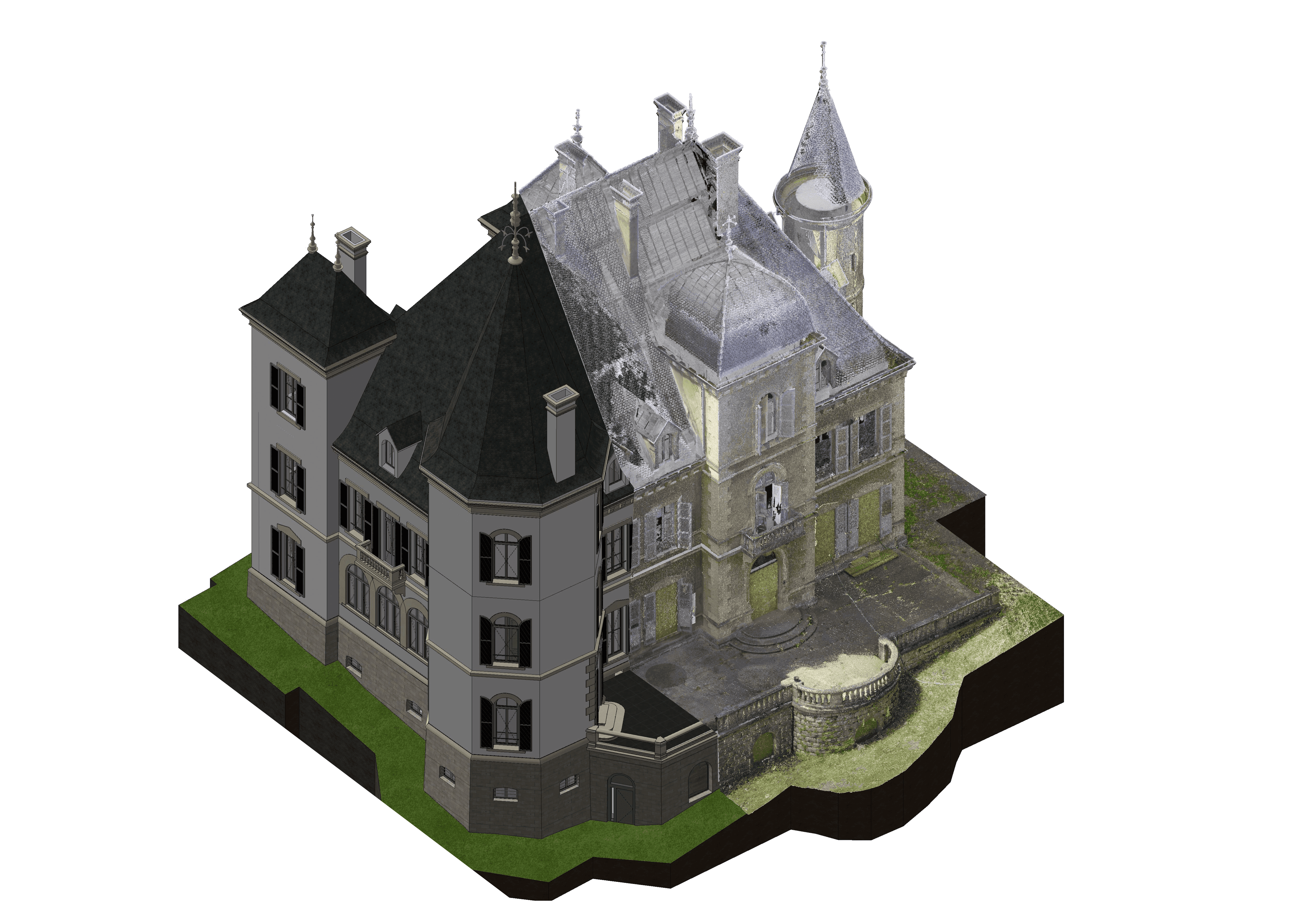
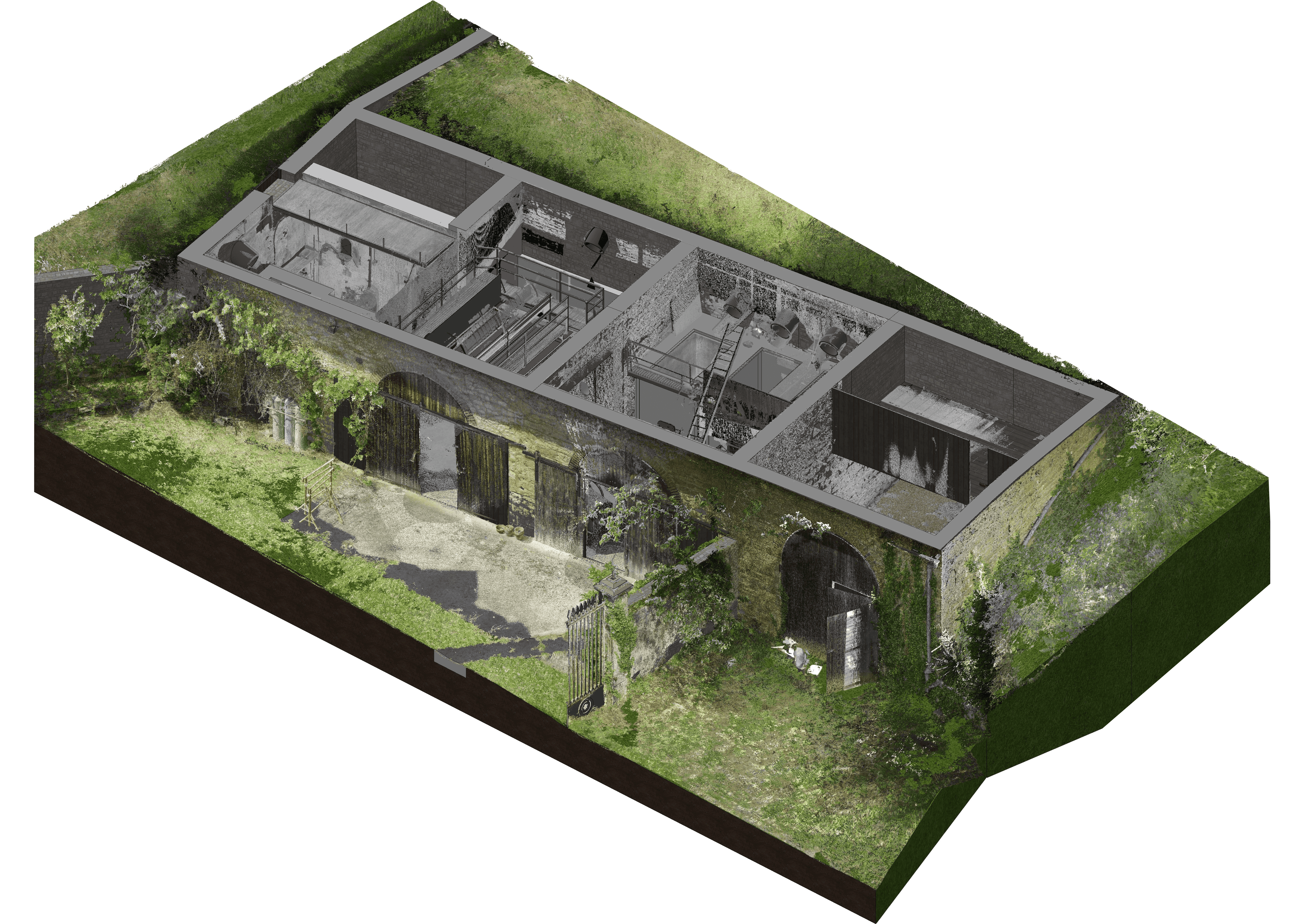
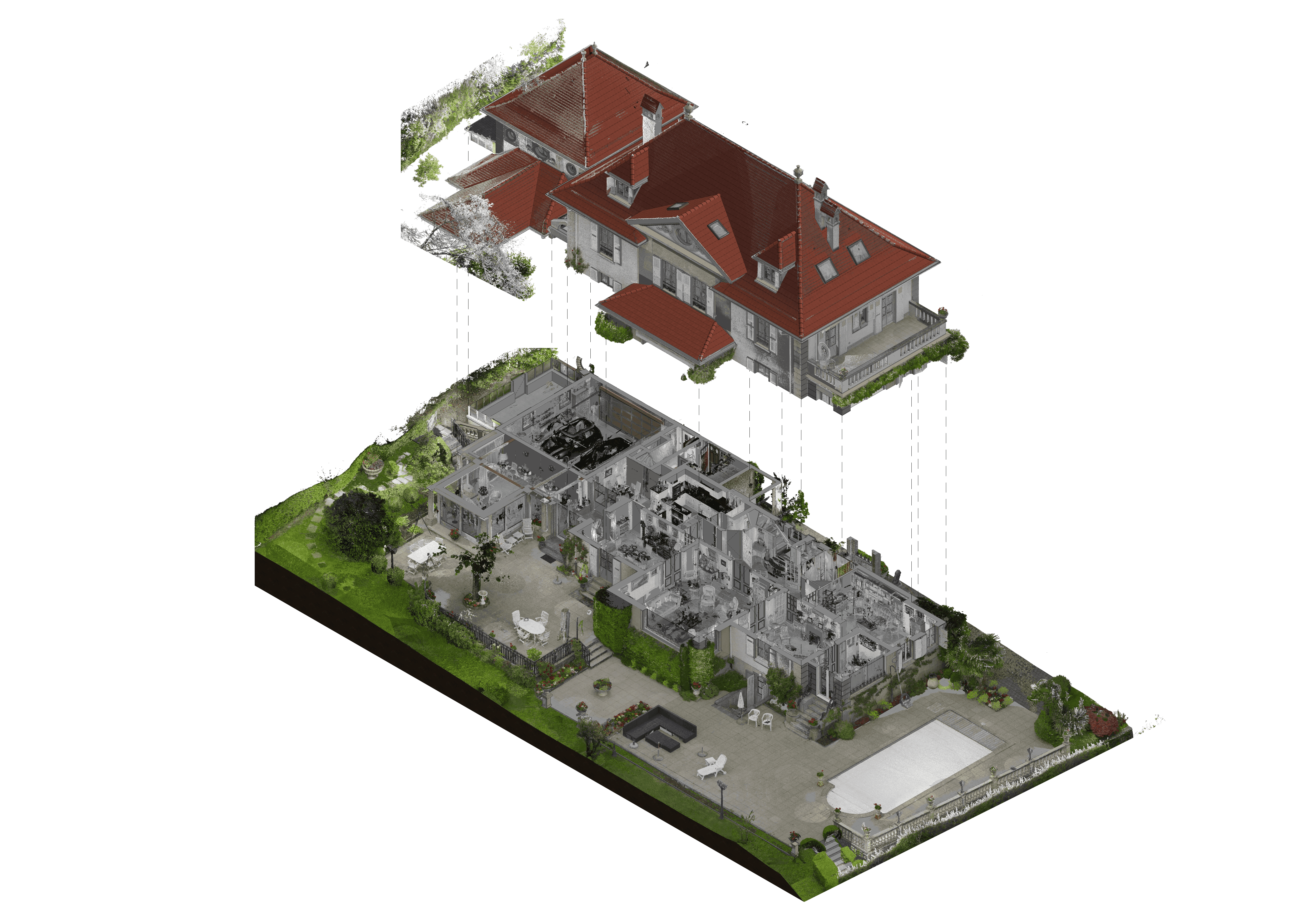
We have delivered precise scan-to-BIM models for heritage buildings, commercial spaces, and industrial facilities.
Frequently asked questions
- How long does the process take?
- A typical LiDAR scanning and interior modeling project takes 2–4 weeks from scan to BIM. However, larger project sites will naturally take a longer time.
- Can these models be used in AR/VR presentations?
- Yes, BIM models can be exported to web-compatible formats like .gltf. This can be useful when preparing immersive presentations for your project teams.
- What accuracy can I expect from LiDAR scans?
- LiDAR scans typically achieve 4–10mm accuracy, depending on the equipment and site conditions.
- How much does it cost to scan my project site?
- The cost depends on the size and complexity of the site. Please provide an estimated Gross Floor Area (GFA) for a quote.
- What is the Level of Detail of the deliverable?
- LOD 300 is the most-requested level of detail because it accurately captures the geometric dimensions of the as-built asset.
- What is the file format of the final BIM deliverable?
- The default format is .ifc, but we can also provide models in native formats such as .rvt, .dgn, or .pln upon request.
- Can you capture above-ceiling MEP systems?
- Yes, but this typically increases the cost due to the additional labor required to remove ceiling boards. Providing existing CAD or BIM plans can help reduce time and cost for above-ceiling scans.
- What are the use cases for point cloud scanning?
- Point cloud scans are used for renovation planning, defect detection, as-built BIM documentation, and project visualization.
Here's what our clients have to say.
Faiz understood our piping systems well and flagged design issues before coordination meetings. Working with their BIM team is seamless.
Annie P.
BIM Manager
Our timeline was tight, but Bimeco quickly added team members to meet our submission deadlines. Very responsive and reliable.
Dave
Project Manager
Their clash detection reports were thorough and saved us significant rework costs. The weekly coordination calls kept everyone aligned.
Jason Ang
Project Manager

Ready to Work with BIM Coordination Experts?
Let our experienced team handle your BIM coordination so you can focus on building. Schedule a free consultation to discuss your project needs.
